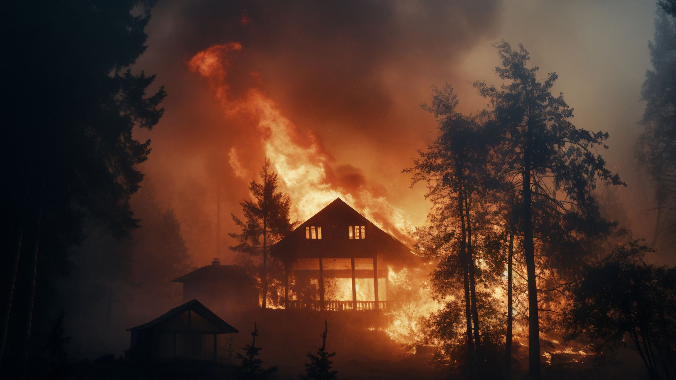
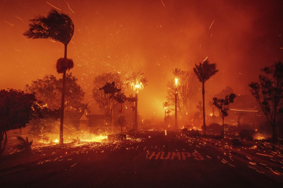
A wildfire risk map in California shows how likely a property is to be exposed to wildfire based on terrain, vegetation, weather patterns, and fire history.
The most commonly used maps are Fire Hazard Severity Zone maps, often referred to as FHSZ maps. These maps are created by CAL FIRE and are used by local governments, insurers, and homeowners to understand wildfire exposure.
If you own property in California, your location on a wildfire risk map can influence:
- Insurance eligibility
- Building requirements
- Defensible space enforcement
- Property value and marketability
Understanding where your home sits on this map is the first step in managing wildfire risk.
Editor’s note: Your insurance situation depends heavily on your property’s actual fire exposure. Our free risk assessment factors in official CAL FIRE data to show what your risk level actually is — useful context before talking to your carrier.
What FHSZ Means and Why It Matters
FHSZ stands for Fire Hazard Severity Zone. It is the official classification system used in California to rate wildfire exposure.
These zones are based on multiple factors:
- Historical fire behavior
- Vegetation and fuel load
- Topography and slope
- Wind patterns
- Ember exposure potential
FHSZ maps divide areas into three categories:
- Moderate
- High
- Very High
Each level reflects increasing wildfire exposure and risk to structures.
Wondering if your property is in a high-risk fire zone? Check your wildfire risk score to see your CAL FIRE zone and exposure level based on your address.
How to Check Your Property on a Wildfire Risk Map
Checking your property on a wildfire risk map in California is straightforward.
You can:
- Visit CAL FIRE’s official mapping tools
- Enter your address
- View your Fire Hazard Severity Zone classification
However, many homeowners stop there. They see a label like “Very High” and are left wondering what it actually means for their home.
That is where interpretation matters. A map shows exposure, not protection.
How to Read Fire Hazard Severity Zones
Understanding your wildfire risk map requires more than identifying your zone. You need to understand what drives that classification.
Moderate
Lower wildfire exposure. Typically more urban or less vegetated areas.
High
Increased vegetation and fuel. Greater potential for fire spread.
Very High
Significant wildfire exposure. High ember activity potential. Strong influence from wind and terrain.
Being in a higher zone does not mean your home will burn. It means the conditions around your home increase the likelihood of wildfire impact.
What Your Risk Level Actually Means
One of the biggest misconceptions about wildfire risk maps is that they predict outcomes. They do not.
They indicate exposure, not survivability.
Two homes in the same Very High zone can perform very differently depending on mitigation.
Key factors that influence real world outcomes include:
- Zone 0 conditions around the home
- Home hardening features
- Defensible space quality
- Presence of ignition resistant materials
- Use of wildfire defense systems
Not sure which step to prioritize first? Our wildfire risk calculator shows your CAL FIRE zone and exposure level — so you know exactly where to start.
How Risk Maps Impact Insurance
Insurance carriers use wildfire risk maps as part of their underwriting process.
Your FHSZ classification can influence:
- Whether coverage is offered
- Premium pricing
- Inspection requirements
- Policy renewals
However, insurers are increasingly looking beyond maps. They are evaluating:
- Mitigation efforts
- Property specific conditions
- Survivability factors
This means homeowners have more control than they might think.
Limitations of Wildfire Risk Maps
Wildfire risk maps are useful, but they have limitations.
They do not account for:
- Recent mitigation improvements
- Property specific upgrades
- Active wildfire defense systems
- Ongoing maintenance
A map may label your property as high risk, even if you have taken significant steps to reduce ignition potential.
What to Do After You Check Your Risk
Once you understand your wildfire risk map classification, the next step is taking action.
Start with:
- Evaluating Zone 0 conditions
- Improving defensible space
- Addressing structural vulnerabilities
- Considering fire retardant protection
- Exploring wildfire defense systems
A layered approach can significantly improve how your home performs during a wildfire, regardless of map classification.
Curious about your property’s actual wildfire risk? Our free calculator shows your CAL FIRE zone, exposure level, and recommended next steps based on your address.
Get your free risk scoreFrequently Asked Questions
What is a wildfire risk map in California?
A map that shows wildfire exposure based on environmental and historical factors.
What does FHSZ mean?
Fire Hazard Severity Zone, the official wildfire risk classification system.
How do I check my property?
Use CAL FIRE mapping tools and enter your address.
What does Very High mean?
It indicates significant wildfire exposure, not guaranteed loss.
Does my zone affect insurance?
Yes, it can impact coverage, pricing, and underwriting decisions.
Can I reduce my wildfire risk?
Yes, through mitigation, home hardening, and active protection.
What is Zone 0?
The five foot area around your home where ignition risk is highest.
Do maps consider mitigation?
No, they reflect environmental conditions, not property improvements.
Are wildfire defense systems effective?
Yes, especially when combined with other mitigation strategies.
What should I do after checking my map?
Take steps to reduce ignition risk and improve survivability.
Next Steps
Once you know your wildfire risk map classification, the next step is understanding what it means for your specific property.
A detailed risk assessment can help you:
- Identify vulnerabilities not shown on maps
- Prioritize mitigation improvements
- Build a strategy to improve protection and insurability
Want to know where your home stands? Get Your Free Satellite Property Review — we will assess your property beyond what any map can show and help you build a wildfire protection strategy that improves both survivability and insurability.