Santa Ana Winds and Wildfire Risk in Southern California
Every year between October and March, Southern California faces one of its most dangerous natural phenomena: the Santa Ana winds. These hot, dry, powerful winds transform the region’s wildfire risk from serious to extreme, driving some of the most destructive fires in California history. For homeowners in Southern California, understanding Santa Ana winds is essential for protecting your property and your family.
Wondering if your property is in a high-risk fire zone? Check your wildfire risk score to see your CAL FIRE zone and exposure level based on your address.
What Causes Santa Ana Winds
Santa Ana winds originate from high-pressure weather systems that build over the Great Basin region of Nevada and Utah. As air from these high-pressure systems flows toward the lower-pressure areas along the Southern California coast, it is funneled through mountain passes and canyons. This compression effect accelerates the wind dramatically while heating and drying it through adiabatic warming, a process in which descending air gains approximately 5 degrees Fahrenheit for every 1,000 feet of elevation drop.
The result is wind that arrives in coastal and foothill communities at speeds of 40 to 70 miles per hour, with gusts exceeding 100 mph in canyon corridors. The relative humidity often drops below 10 percent during strong Santa Ana events, creating air drier than most deserts on Earth. This combination of extreme wind speed and critically low humidity creates perfect fire weather conditions.
The primary corridors for Santa Ana winds include the Cajon Pass, Santa Ana Canyon, Soledad Canyon, and the passes through the San Gabriel, San Bernardino, and Santa Ynez Mountains. Communities located downwind of these corridors, including much of Los Angeles County, Orange County, Riverside County, San Bernardino County, Ventura County, and San Diego County, face the highest exposure.
Not sure which step to prioritize first? Our wildfire risk calculator shows your CAL FIRE zone and exposure level — so you know exactly where to start.
When Santa Ana Winds Occur
The Santa Ana wind season runs primarily from October through March, with the most intense events typically occurring in October, November, and December. This timing is critical because it coincides with the end of California’s long dry season, when vegetation moisture content is at its lowest. Grasses, chaparral, and brush that have been drying for five to six months become extremely combustible fuel that ignites easily and burns intensely.
The National Weather Service issues Red Flag Warnings when Santa Ana wind events combine with low humidity to create extreme fire danger. During Red Flag Warnings, fire agencies staff up, utility companies may implement Public Safety Power Shutoffs to prevent electrical equipment from sparking fires, and homeowners should be on high alert. Red Flag Warnings typically indicate sustained winds above 25 mph with relative humidity below 15 percent.
How Santa Ana Winds Spread Wildfire
Santa Ana winds transform wildfires from manageable incidents into catastrophic conflagrations through several mechanisms:
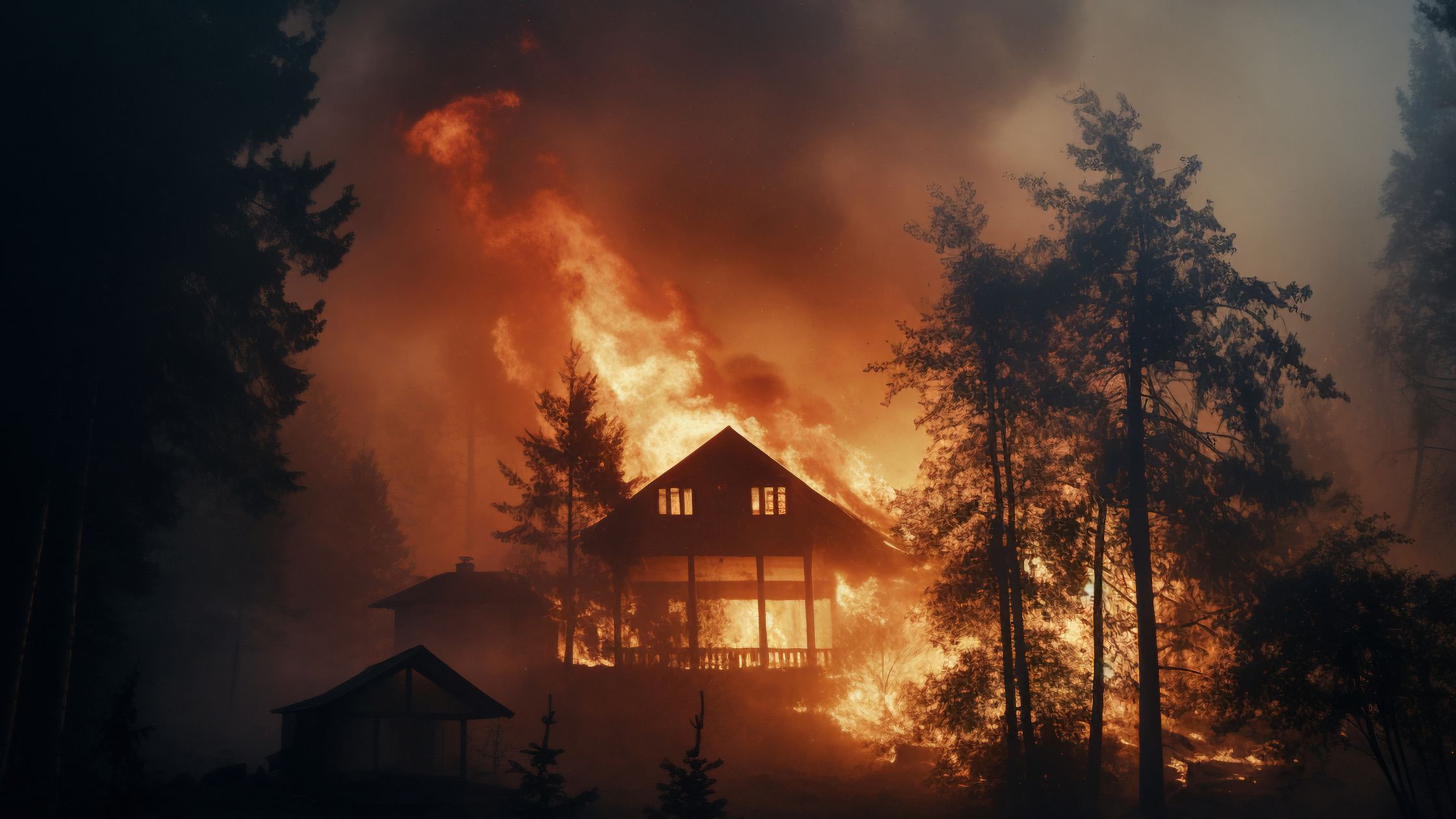
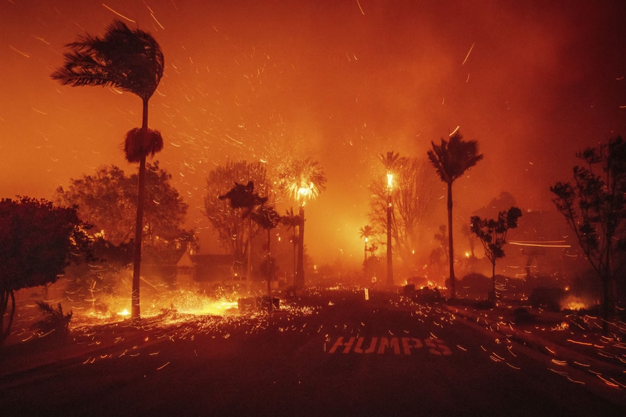
- Ember transport: Winds carry burning embers up to a mile or more ahead of the main fire front. These embers land on rooftops, in gutters, against fences, and in dry vegetation, igniting spot fires far from the original blaze. Ember attack is the primary mechanism by which homes ignite during wind-driven fires.
- Rapid fire spread: Wind-driven fires can advance at speeds of 50 to 80 acres per minute under extreme conditions. This rate of spread outpaces ground-based suppression efforts and can overrun communities before evacuation is complete.
- Suppression difficulty: Aircraft cannot fly safely in winds above 30 to 35 mph, eliminating aerial firefighting capability during the worst wind events. Ground crews face extreme danger from shifting winds and rapid fire runs.
- Extreme drying: The low humidity associated with Santa Ana winds dries out vegetation to below critical moisture thresholds within hours, expanding the area of combustible fuel beyond normal fire season levels.
Historical Fires Driven by Santa Ana Winds
Some of California’s most devastating fires were driven by Santa Ana wind events, demonstrating the catastrophic potential of these conditions:
Thomas Fire (2017)
The Thomas Fire ignited in Ventura County on December 4, 2017, during a prolonged Santa Ana wind event. Winds gusting to 70 mph drove the fire through Ventura and into Santa Barbara County, ultimately burning 281,893 acres and destroying over 1,060 structures. At the time it was the largest fire in modern California history. The fire burned for over a month, with Santa Ana conditions repeatedly re-intensifying its spread.
Woolsey Fire (2018)
The Woolsey Fire started November 8, 2018, during extreme Santa Ana conditions with winds gusting above 60 mph. The fire tore through Malibu and the Santa Monica Mountains, burning 96,949 acres and destroying 1,643 structures. The fire’s speed was staggering: it advanced from its origin near the Santa Susana Pass to the Pacific Ocean, a distance of approximately 15 miles, in less than 24 hours.
Lessons from the Camp Fire
While the Camp Fire (2018) in Paradise was driven by Diablo winds rather than Santa Ana winds, it demonstrated the same wind-driven fire dynamics. The fire destroyed 18,804 structures and killed 85 people, showing what happens when wind-driven fire reaches dense residential areas without adequate defensible space and home hardening.
Preparing Your Home for Santa Ana Wind Events
Preparation before a Santa Ana event begins is critical. Once winds arrive and a fire starts, there is often no time to implement protective measures. The following actions should be completed before fire season:
Year-Round Preparation
- Maintain defensible space: Keep vegetation cleared to at least 100 feet from your home. During Santa Ana season, embers can travel over a mile, but defensible space gives your home a fighting chance by reducing fuel near the structure.
- Harden your home: Install ember-resistant vents with 1/8-inch metal mesh, upgrade to Class A fire-rated roofing, replace wood siding with non-combustible materials, and install dual-pane tempered glass windows. These home hardening improvements are your primary defense against ember attack.
- Clear gutters and roof: Remove all leaves, needles, and debris from gutters, roof valleys, and around skylights. Accumulated debris on rooftops is one of the most common ignition points during ember storms.
- Manage fencing: Replace wooden fencing attached to your home with metal or non-combustible alternatives, or create a non-combustible break between the fence and the structure.
When a Red Flag Warning Is Issued
- Move combustibles inside: Bring patio furniture cushions, doormats, trash cans, and any other combustible items indoors or into enclosed storage.
- Close all windows and doors: Seal your home against ember intrusion by closing all windows, doors, and vents if possible.
- Prepare emergency supplies: Have your evacuation kit ready with documents, medications, water, and essential belongings in case evacuation orders are issued.
- Park vehicles facing outward: Keep your car loaded with essentials and pointed toward your evacuation route with keys accessible.
- Charge devices: Ensure phones and battery banks are fully charged in case of Public Safety Power Shutoffs.
Ember Defense During Wind Events
During a Santa Ana wind-driven fire, ember attack is the primary threat to your home. Understanding how embers interact with structures is essential for effective defense:
- Vents are the most vulnerable entry point. Standard attic and crawlspace vents allow embers to enter and ignite interior framing. Ember-resistant vent systems with fine metal mesh are the single most effective structural upgrade.
- Roof-to-wall junctions collect windblown embers in corners and crevices. Ensure all gaps are sealed with fire-resistant caulk or flashing.
- Under-deck spaces trap embers that can smolder and ignite deck boards from below. Enclose deck undersides with non-combustible material or install fire-rated decking.
- Woodpiles and propane tanks should be located at least 30 feet from any structure and never placed uphill where radiant heat could reach the home.
Properties with comprehensive ember defense systems have significantly higher survival rates during wind-driven wildfire events, even when neighboring properties are lost.
Understanding Fire Weather Forecasts
Monitoring fire weather forecasts is essential during Santa Ana season. The National Weather Service issues several types of alerts:
- Fire Weather Watch: Conditions are possible within 24 to 72 hours for critical fire weather. Begin preparations.
- Red Flag Warning: Critical fire weather conditions are imminent or occurring. All preparations should be complete.
- Extreme Red Flag Warning: A newer designation for the most dangerous conditions, indicating catastrophic fire potential. Be prepared to evacuate immediately.
Monitor CAL FIRE, your local fire department, and the National Weather Service for current conditions. Sign up for local emergency notification systems to receive evacuation warnings directly.
How Ember Pro Protects You During Santa Ana Season
Ember Pro provides comprehensive wildfire defense solutions specifically designed for Southern California’s Santa Ana wind conditions:
- Wind-specific risk assessment: We evaluate your property’s exposure to prevailing Santa Ana wind corridors and identify the specific vulnerabilities that wind-driven ember attack will exploit.
- Ember defense installation: Our team installs ember-resistant vents, seals roof-to-wall junctions, and addresses all ember entry points identified during assessment.
- Defensible space management: We design and implement defensible space plans calibrated to wind-driven fire behavior, which requires different vegetation spacing than calm-wind fire scenarios.
- Seasonal preparation service: Before each Santa Ana season, we perform pre-season inspections and maintenance to ensure your property is ready for the most dangerous fire weather of the year.
- Insurance coordination: We provide documentation of all mitigation work to support your insurance coverage and help you qualify for premium discounts under California law.
Southern California homeowners face unique challenges during Santa Ana season. Professional preparation is not a luxury; it is a necessity for protecting your home and your family. Contact Ember Pro today for a free wind exposure assessment and learn how targeted mitigation can dramatically reduce your risk.
Get Your Free Wind Exposure Assessment
Curious about your property’s actual wildfire risk? Our free calculator shows your CAL FIRE zone, exposure level, and recommended next steps based on your address.
Get your free risk score