By Jim Sprouse, Co-founder of Ember Pro
Whether you are buying a new home, renewing your insurance, or simply want to understand the fire danger around your property, knowing how to check wildfire risk by address is one of the most important first steps you can take. California homeowners face increasing wildfire exposure, and the tools available today make it easier than ever to look up your specific risk level, interpret the results, and take meaningful action.
This guide covers the best free and paid tools for checking wildfire risk by address, how to read the results, and what to do once you know your risk score.
Editor’s note: Your insurance situation depends heavily on your property’s actual fire exposure. Our free risk assessment factors in official CAL FIRE data to show what your risk level actually is — useful context before talking to your carrier.
Why Checking Wildfire Risk by Address Matters
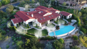
Wildfire risk is not uniform across California. Two homes on the same street can face very different fire exposure depending on slope, vegetation, wind patterns, and proximity to open land. Generic regional warnings are not enough. You need to know what your specific address faces.
Knowing your risk level affects critical decisions: what wildfire insurance coverage you need, which home hardening upgrades to prioritize, how to manage your defensible space, and whether your property meets current California fire safety compliance standards. A risk lookup is the starting point for all of these.
CAL FIRE Fire Hazard Severity Zone Maps
The most authoritative source for wildfire risk assessment in California is the CAL FIRE Fire Hazard Severity Zone (FHSZ) map viewer. This free tool, maintained by the California Department of Forestry and Fire Protection, allows you to enter any California address and see its official fire hazard severity zone designation.
FHSZ zones are classified as Moderate, High, or Very High. These designations directly determine which California wildfire laws apply to your property, including defensible space requirements under PRC 4291, AB 3074 Zone 0 standards, and Chapter 7A building code requirements for new construction or major renovations.
How to Use the CAL FIRE Map
Visit the CAL FIRE FHSZ Viewer at osfm.fire.ca.gov. Enter your full street address in the search bar. The map will zoom to your location and display the fire hazard zone for your parcel. You can toggle between State Responsibility Area (SRA) and Local Responsibility Area (LRA) designations to see which jurisdiction manages fire protection for your property.
The FHSZ map was comprehensively updated in 2024, and many properties were reclassified into higher severity zones. If you last checked your designation more than two years ago, it is worth confirming your current classification.
USGS Wildfire Risk Tools
The United States Geological Survey provides several wildfire risk assessment tools that complement the CAL FIRE maps. The USGS Wildland Fire Potential Index provides current-condition fire potential based on live and dead fuel moisture, weather conditions, and historical fire data.
Unlike the FHSZ maps, which provide a static zone classification, USGS tools show dynamic risk that changes with weather and seasonal conditions. This is particularly valuable for understanding when your risk is elevated above baseline and when to take extra precautions like ensuring your wildfire defense systems are ready and your evacuation plan is current.
The USGS also maintains the Monitoring Trends in Burn Severity (MTBS) database, which shows the history of fires that have burned in and around your area. Seeing that a major fire burned within a mile of your home ten or twenty years ago provides important context about your long-term risk.
Not sure which step to prioritize first? Our wildfire risk calculator shows your CAL FIRE zone and exposure level — so you know exactly where to start.
Watch Duty App: Real-Time Fire Monitoring
The Watch Duty app has become an essential tool for California homeowners. While it is primarily a real-time fire monitoring and alert platform, Watch Duty also provides historical fire perimeter data and proximity alerts that help you understand your address-level risk.
Watch Duty uses a network of trained fire spotters, official agency feeds, and satellite data to provide fast, accurate information about active fires. You can set your home address and receive notifications when a fire is detected within a customizable radius. The app also archives past fire perimeters, showing you which fires have burned near your property and how close they came.
While Watch Duty does not provide a static risk score like the FHSZ maps, its real-time monitoring capability and historical data make it an invaluable complement to other risk assessment tools. Every California homeowner in a fire-prone area should have this app installed and configured.
Insurance Risk Assessment Tools
Insurance companies use their own proprietary wildfire risk models to evaluate properties. Several of these tools are available to consumers, and they provide a different perspective on risk than government maps.
CoreLogic Wildfire Risk Score is one of the most widely used commercial risk models. It assigns properties a score from 1 to 100 based on fuel density, topography, historical fire activity, wind exposure, and proximity to fire-prone areas. Many insurance companies use CoreLogic data when deciding whether to write or renew a policy, so understanding your CoreLogic score can help you anticipate insurance decisions.
Verisk FireLine is another major commercial risk model used by insurers. FireLine provides a risk score and detailed property-level analysis including ember zone exposure, slope-driven fire risk, and fuel continuity. Some insurance brokers can provide your FireLine score as part of the quoting process.
While you may not have direct access to these tools, asking your insurance broker for your property’s wildfire risk score from their underwriting platform can provide valuable insight into how the insurance market views your property.
How to Interpret Risk Scores and Zone Designations
Understanding what your risk assessment results mean is as important as obtaining them. Here is how to interpret the most common designations:
FHSZ Zone Designations
- Moderate: Some wildfire risk, but fewer regulatory requirements. Standard defensible space rules apply.
- High: Significant wildfire risk. Full PRC 4291 defensible space requirements apply. Chapter 7A building standards apply to new construction.
- Very High: Maximum regulatory classification. AB 3074 Zone 0 requirements apply. Strictest defensible space and building code standards. Most likely to face insurance challenges.
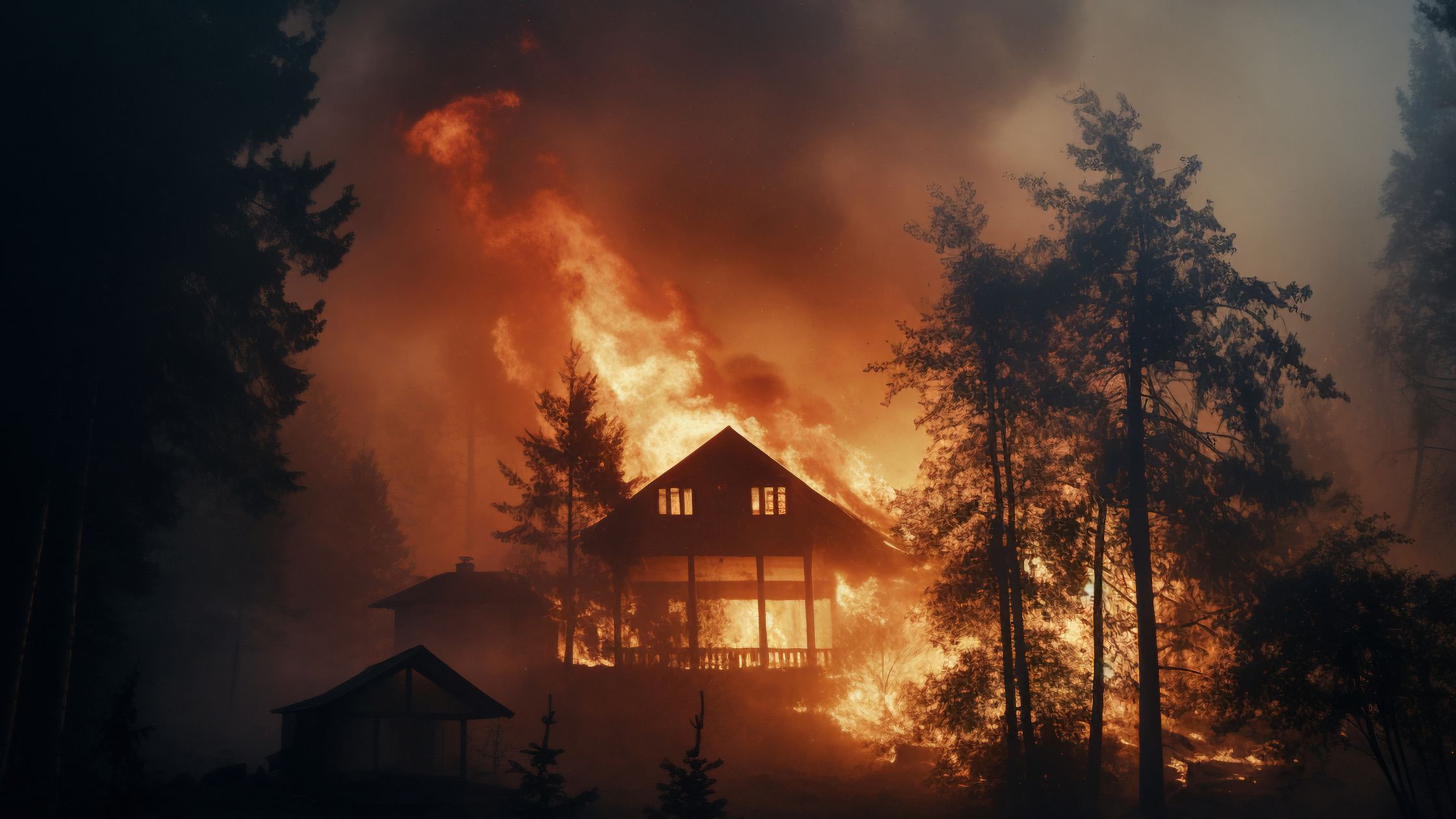
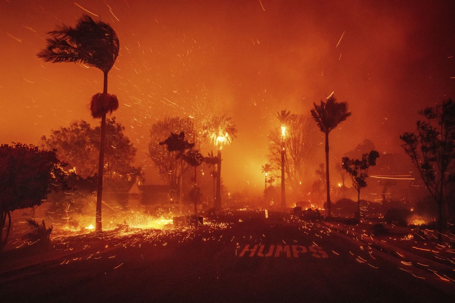
What High or Very High Designation Means for You
If your property is in a High or Very High FHSZ, you should assume that insurance will be more expensive and harder to obtain, regulatory compliance requirements are significant and increasing, property values may be affected by wildfire risk perception, and proactive mitigation is not optional but essential for both safety and financial protection.
What to Do After Checking Your Risk
Once you know your wildfire risk level, the next step is to take action. Here is a prioritized approach based on risk level:
For All Risk Levels
- Maintain defensible space around your home per PRC 4291 requirements
- Install the Watch Duty app and configure alerts for your address
- Review your homeowners insurance policy and ensure adequate coverage
- Create and practice a family evacuation plan
For High and Very High Risk Properties
- Achieve full compliance with all applicable fire codes including AB 3074 Zone 0 standards
- Invest in home hardening upgrades starting with ember-resistant vents, non-combustible roofing, and tempered glass windows
- Consider active wildfire defense systems for additional protection during fire events
- Document all mitigation work with photos and receipts for insurance purposes
- Consult with a wildfire mitigation professional to develop a comprehensive protection plan
Curious about your property’s actual wildfire risk? Our free calculator shows your CAL FIRE zone, exposure level, and recommended next steps based on your address.
Get your free risk scoreHow Ember Pro Can Help
At Ember Pro, we go beyond what any online risk tool can tell you. Our on-site assessments evaluate the specific conditions around your property, identifying vulnerabilities that maps and algorithms miss: the dead tree leaning toward your roof, the vent screen that has deteriorated, the neighbor’s unmaintained lot that creates a fire pathway to your home.
We help California homeowners translate risk scores into actionable protection plans. Whether you need a comprehensive ember assessment, vegetation management, home hardening recommendations, or full-service wildfire defense installation, our team provides the expertise to move from knowing your risk to reducing it.
Frequently Asked Questions
Is there a free way to check wildfire risk by address?
Yes. The CAL FIRE FHSZ map viewer is free and provides the official fire hazard severity zone for any California address. The Watch Duty app also provides free fire monitoring and historical fire data.
How often are fire hazard zone maps updated?
CAL FIRE conducts comprehensive FHSZ updates periodically. The most recent major update was in 2024. Local jurisdictions may update their maps on different schedules.
Does my wildfire risk score affect my insurance?
Yes. Insurance companies use proprietary risk models to evaluate properties. Higher risk scores typically result in higher premiums, coverage restrictions, or non-renewal. Documented mitigation work can improve your insurability.
Can I lower my wildfire risk designation?
FHSZ zone designations are based on landscape-level factors and are difficult to change for individual properties. However, you can reduce your actual risk through defensible space, home hardening, and active defense systems regardless of your zone designation.
What is the most important thing to do after checking my risk?
Start with defensible space. Clearing vegetation and maintaining proper clearance around your home is the single most impactful step for any risk level. Then move to structural hardening and insurance review.
References
- CAL FIRE Fire Hazard Severity Zone Viewer — osfm.fire.ca.gov
- USGS Wildland Fire Potential Index — usgs.gov
- Watch Duty App — watchduty.org
- CoreLogic Wildfire Risk Score — corelogic.com
- Verisk FireLine — verisk.com
- California Public Resources Code Section 4291
- California Assembly Bill 3074 — Zone 0 Standards