California’s 2026 wildfire season is underway, and the summer outlook demands attention from every homeowner in a fire-prone area. After a mixed winter with below-average snowpack in Southern California and moderate precipitation in the north, fuel conditions across much of the state are primed for significant fire activity. This update covers current conditions, what forecasters are watching for June through September, and what you should be doing right now to protect your home and family.
Wondering if your property is in a high-risk fire zone? Check your wildfire risk score to see your CAL FIRE zone and exposure level based on your address.
Current Conditions: Where We Stand in Summer 2026
As of late June 2026, several factors are shaping this fire season:
- Fuel moisture levels: Live fuel moisture readings in Southern California chaparral are trending 15-20% below the 10-year average for this time of year. Dead fuel moisture is critically low in foothill and mountain areas across the state
- Snowpack: Sierra Nevada snowpack melted earlier than average, with most monitoring stations recording snow-free conditions by mid-May. This extends the dry season and increases fire risk in higher elevations earlier than usual
- Vegetation growth: Winter rains produced significant grass growth in the Central Valley and coastal foothills, creating heavy fine fuel loads that are now curing and becoming highly flammable
- Drought status: Much of Southern California remains in moderate drought, while Northern California shows near-normal conditions. The southern two-thirds of the state face elevated fire risk through November
Wind Pattern Forecasts: The Critical Variable
Wind is the most dangerous accelerant in California wildfires. The 2026 forecast highlights several wind-related concerns:
Santa Ana and Diablo Winds
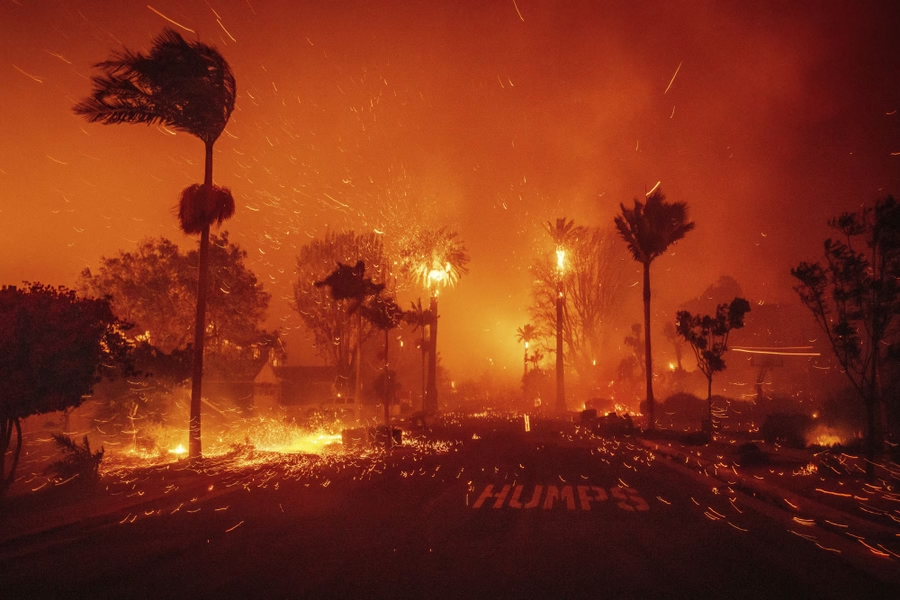
Long-range forecasts suggest an active offshore wind pattern beginning in late September. Santa Ana winds in Southern California and Diablo winds in Northern California create the most extreme fire weather conditions by driving hot, dry air from the interior deserts through mountain passes and canyons.
- Peak Santa Ana season typically runs October through December, but early events in September are possible
- Wind speeds during major events can exceed 60-80 mph in canyon areas
- Relative humidity drops to 5-10% during strong offshore events
- These conditions can push fire spread rates to 1 mile per minute in extreme cases
Sundowner Winds
The Santa Barbara and Ventura County coasts face sundowner wind events from June through October. These localized north-to-northeast winds descend from the mountains in the evening hours, creating dangerous fire conditions along the South Coast.
High-Risk Regions for Summer 2026
Based on current fuel conditions, weather patterns, and historical fire activity, these regions face the highest risk this summer:
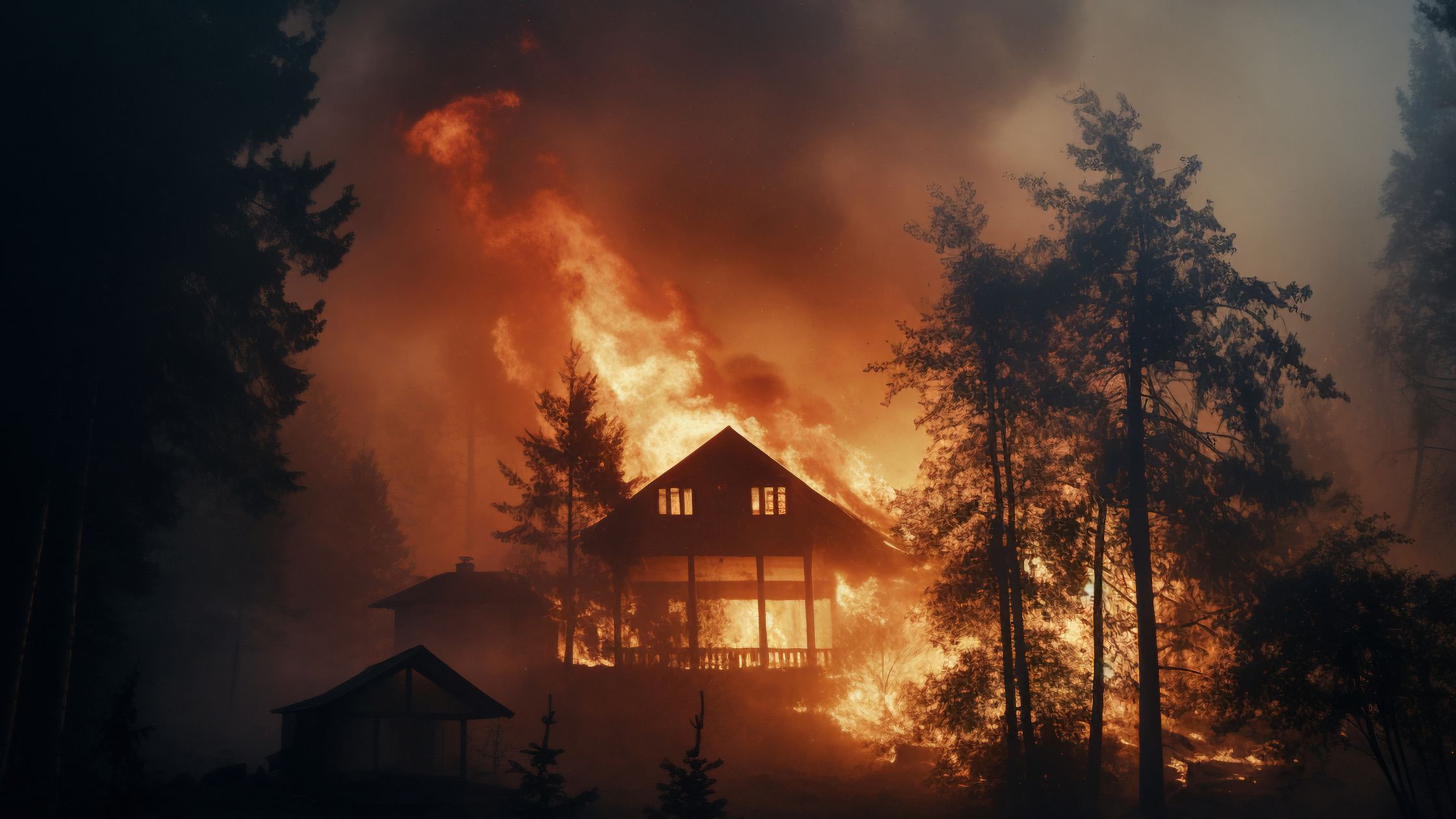
- San Gabriel and San Bernardino Mountains: Heavy dead fuel loads from drought-stressed trees and early snowmelt create extreme risk. The Wildland-Urban Interface (WUI) communities in these ranges are particularly vulnerable
- Ventura and Santa Barbara County foothills: Thomas Fire scar regrowth and sundowner wind exposure maintain elevated risk
- East Bay Hills and Contra Costa County: Grass curing is advanced and Diablo wind exposure creates rapid fire spread potential
- San Diego County backcountry: Persistent drought, low fuel moisture, and Santa Ana wind corridors make this region high-risk through December
- Shasta and Butte County: Heavy fine fuel loads from winter grass growth and hot summer temperatures create significant risk in the northern Sacramento Valley
Red Flag Warning System Explained
Understanding the warning system helps you respond appropriately to changing conditions.
- Fire Weather Watch: Conditions are possible within 12-72 hours that could support rapid fire spread. Begin preparation activities and review your evacuation plan
- Red Flag Warning: Critical fire weather conditions are occurring or imminent. Extreme caution with any ignition sources. Be ready to evacuate on short notice. Ensure defensible space is fully maintained
- Extreme Red Flag Warning: The most dangerous fire weather conditions. Widespread, fast-moving fires are likely. Consider voluntary pre-evacuation. This warning level was created after the 2019 fire season
When a Red Flag Warning is issued for your area, take immediate action: close all windows and doors, move combustible furniture away from the home, connect garden hoses, park your car facing outward, and keep your go-bag in the vehicle.
Editor’s note: Your insurance situation depends heavily on your property’s actual fire exposure. Our free risk assessment factors in official CAL FIRE data to show what your risk level actually is — useful context before talking to your carrier.
What June Through September Looks Like
Here is what fire agencies and forecasters expect for the remainder of summer 2026:
June-July
Grass fires and smaller brush fires dominate early summer. The risk is moderate to high in grass-covered foothills and valleys. Major timber fires are less likely until later in the season when deeper fuels dry out completely.
August
August historically marks the transition to large fire season. Timber fuels reach critical dryness, and lightning from monsoonal moisture in the Sierra can spark fires in remote terrain. Large fire potential increases significantly across all elevation zones.
September
September is often the most dangerous month. Maximum fuel dryness coincides with the first offshore wind events. The combination of dry fuels, hot temperatures, and strong winds creates conditions for the largest and most destructive fires. The 2020 Creek Fire, 2018 Camp Fire, and 2017 Thomas Fire all occurred during fall wind events.
How to Prepare Right Now
If you have not completed your wildfire preparation for this season, take these steps immediately:
This Week
- Clear Zone 0 completely: remove all vegetation, debris, and combustible materials within 5 feet of your home
- Clean your roof and gutters of all leaves, needles, and debris
- Check and replace vent screens (1/8-inch metal mesh required)
- Assemble or update your wildfire go-bag
- Review your evacuation routes and meeting points
This Month
- Complete defensible space vegetation management in Zones 1 and 2
- Schedule a professional home hardening assessment if you have not had one
- Verify your homeowners insurance coverage and update your home inventory
- Test any existing sprinkler or fire suppression systems
- Ensure compliance with current California defensible space regulations
Before September
- Complete any outstanding home hardening projects
- Install ember-resistant vents if not already done
- Remove or relocate firewood, propane tanks, and combustible storage away from structures
- Coordinate with neighbors on shared vegetation management
Monitoring Tools: Stay Informed
Use these tools to monitor wildfire conditions in real time throughout fire season:
- Watch Duty: Real-time wildfire tracking with verified reports from trained observers. The most reliable source for current fire information in California
- CAL FIRE Alerts: Official incident information and evacuation orders from the state fire agency
- Alert California: County-level emergency notifications including evacuation orders and warnings
- National Weather Service: Fire weather forecasts, Red Flag Warnings, and wind predictions
- NIFC InciWeb: National incident tracking for large wildfires across the western United States
- AirNow: Real-time air quality monitoring for smoke exposure awareness
Last-Minute Mitigation Steps
Even if you are late in your preparation, these steps can be completed quickly and still make a meaningful difference:
- 1 hour: Clear Zone 0 of all vegetation and debris. Move patio furniture, doormats, and planters away from the house
- 2-3 hours: Clean roof and gutters. Screen unscreened vents with 1/8-inch hardware cloth (available at any hardware store)
- 1 day: Complete Zone 1 vegetation management. Trim tree branches to 10 feet above ground and away from structures
- 1 weekend: Address Zone 2 thinning. Remove dead trees and ladder fuels. Mow grass to 4 inches
Not sure which step to prioritize first? Our wildfire risk calculator shows your CAL FIRE zone and exposure level — so you know exactly where to start.
Ember Pro Seasonal Services
Ember Pro offers accelerated seasonal preparation services for homeowners who need to get fire-ready quickly:
- Emergency defensible space assessments and vegetation management
- Rapid home hardening evaluation with prioritized action plan
- Vent screening and ember-proofing services
- Insurance documentation and compliance verification
- Seasonal maintenance programs for year-round protection
- Integration with active defense systems including sprinkler evaluation
Frequently Asked Questions
Is 2026 expected to be a bad fire year?
Current conditions suggest above-average fire potential for Southern California and parts of Northern California through the fall. However, fire seasons are ultimately determined by wind events and ignitions, which cannot be predicted months in advance. The best approach is to prepare for worst-case conditions regardless of forecasts.
When is the most dangerous part of fire season?
Historically, September through November is the most dangerous period in California. Maximum fuel dryness coincides with offshore wind events (Santa Ana and Diablo winds), creating conditions for the largest and fastest-moving fires.
Should I evacuate during a Red Flag Warning?
A Red Flag Warning alone does not require evacuation, but you should be prepared to leave on short notice. If an evacuation warning or order is issued during a Red Flag Warning, leave immediately. Consider voluntary early departure if you are in a high-risk area with limited egress routes.
How do I know if my area is high-risk this season?
Check your property’s fire hazard severity zone designation on the CAL FIRE FHSZ map. Properties in Very High Fire Hazard Severity Zones (VHFHSZ) face the highest risk. Also consult your local fire department for area-specific risk assessments.
Is it too late to fireproof my home for this season?
It is never too late to take action. Even basic steps like clearing Zone 0, cleaning gutters, and screening vents can be completed in a single day and significantly reduce your risk. Start with the highest-impact, lowest-cost measures and work from there.
What new wildfire laws affect homeowners this year?
California continues to strengthen wildfire mitigation requirements. Check current PRC 4291 defensible space standards and any local ordinances that may exceed state requirements. Your local fire department can provide the most current compliance information for your area.
Curious about your property’s actual wildfire risk? Our free calculator shows your CAL FIRE zone, exposure level, and recommended next steps based on your address.
Get your free risk scoreReferences
- National Interagency Fire Center (NIFC) – Seasonal Wildfire Outlook 2026
- CAL FIRE – 2026 Fire Season Readiness Report
- National Weather Service – Fire Weather Forecast Products
- California Department of Water Resources – Snowpack and Water Supply Data
- USDA Forest Service – National Fuel Moisture Database
- UC Cooperative Extension – Fire Season Outlook for California
Related Articles
- Home Hardening: Protect Your Home Before Fire Season
- Defensible Space Requirements for California Homeowners
- Wildfire Defense Systems: Active Protection for Your Property
- Wildfire Insurance: What You Need to Know for 2026
- California Wildfire Laws 2026: What Changed and What It Means
Ember Pro provides comprehensive wildfire preparation services to help California homeowners get fire-ready for the 2026 season. From emergency assessments to ongoing maintenance, we help you protect your home, your family, and your investment. Contact us today for a seasonal wildfire risk assessment.

Leave a Reply